
📍 Explore CBD Punjab Locations
Discover project locations, surrounding landmarks, road connectivity and verified geographic information through one interactive map.
Location Explorer
15 mapped locations · 3 under verification · Last updated October 20, 2026
Map Legend ▾
Projects (18)
View All →
Sirius Tower
Approximate Location
Celestia IT Tower
Officially Sourced
The Regalia
Approximate Location
Azalea
Approximate Location
Grand Souq Lahore
Officially Sourced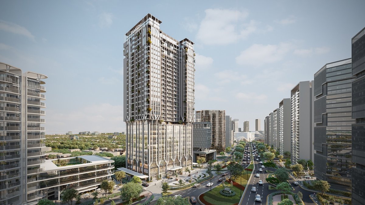
Zameen ARX
Approximate Location
Five-Star Plus Hotel + Mixed-Use
Approximate Location
Lahore Prime
Approximate Location
CBD Walk
Approximate Location
The Runway
Cross-Checked
Node
Approximate Location
Quaid District
District Anchor
BAB District
District Anchor
NSIT City
District Anchor
CBD Potohar
District Anchor
RetailX
Location Under Verification
CBD Lake
Location Under Verification
CBD Corporate Bay
Location Under Verification📍 Explore by District
Discover each district’s location, key projects and surrounding infrastructure.
Quaid District
Prime business district on the Kalma Chowk / Gulberg side of the Walton site, with major commercial and office projects.
NSIT City
Technology-focused district on Bedian Road near DHA Phase 6/7 — home to Celestia IT Tower and the Silicon Block.
Potohar
Strategic location in the Potohar region — 12,405-acre airport site on the M-14 Motorway plus a Hassan Abdal site. Launched June 2026.
BAB District
Business and administrative hub on the Walton Road side, with the planned 118-acre Diplomatic Enclave near Bab-e-Pakistan.
🧭 Why Use Our Location Explorer?
- ◈ Interactive map with real project data — every marker traces to a named source
- ◈ Honest verification labels: officially sourced, cross-checked, or clearly marked approximate
- ◈ No fabricated coordinates — unverified projects are listed, never plotted
- ◈ One-tap navigation: copy coordinates or open any location in Google Maps
- ◈ Official sources linked on every project — verify anything yourself
Data Transparency
CBDPunjab.com is an independent information platform. Geographic information is compiled from available sources, and individual records carry different verification levels. Approximate markers show the best available reference point — not a surveyed plot. Consult the relevant official authority for legally authoritative boundaries, approvals and planning documents.